
Drone Survey Services for Structural Inspection and Integrity
Drone Survey Services for Accurate Mapping, Inspection and Analysis
Revolutionizing Structural Repair with Aerial Intelligence
Traditional methods of inspecting critical infrastructure are changing. We are moving away from scaffolding, rope access, and costly downtime toward a safer, more efficient future. Our drone survey services provide unparalleled access to your most complex assets bridges, jetties, chimneys, and cooling towers delivering the precise data you need for effective structural repair.
By deploying advanced drone technology, we remove the guesswork and the danger from structural assessments. We help you make informed maintenance decisions based on high-resolution imagery and accurate thermal data, all without putting a single person at risk.
Why Choose Drone Surveys for Structural Integrity?
We offer a comprehensive range of waterproofing services tailored to different needs. Our services include:
1. Unmatched Safety for Your Team
2. Rapid Deployment and Efficiency
3. Precision Data for Better Repairs
4. Cost-Effective Maintenance
Capabilities: Structures We Inspect
We specialize in hard-to-reach and high-risk environments. Our fleet is equipped to handle a diverse range of structural assets.
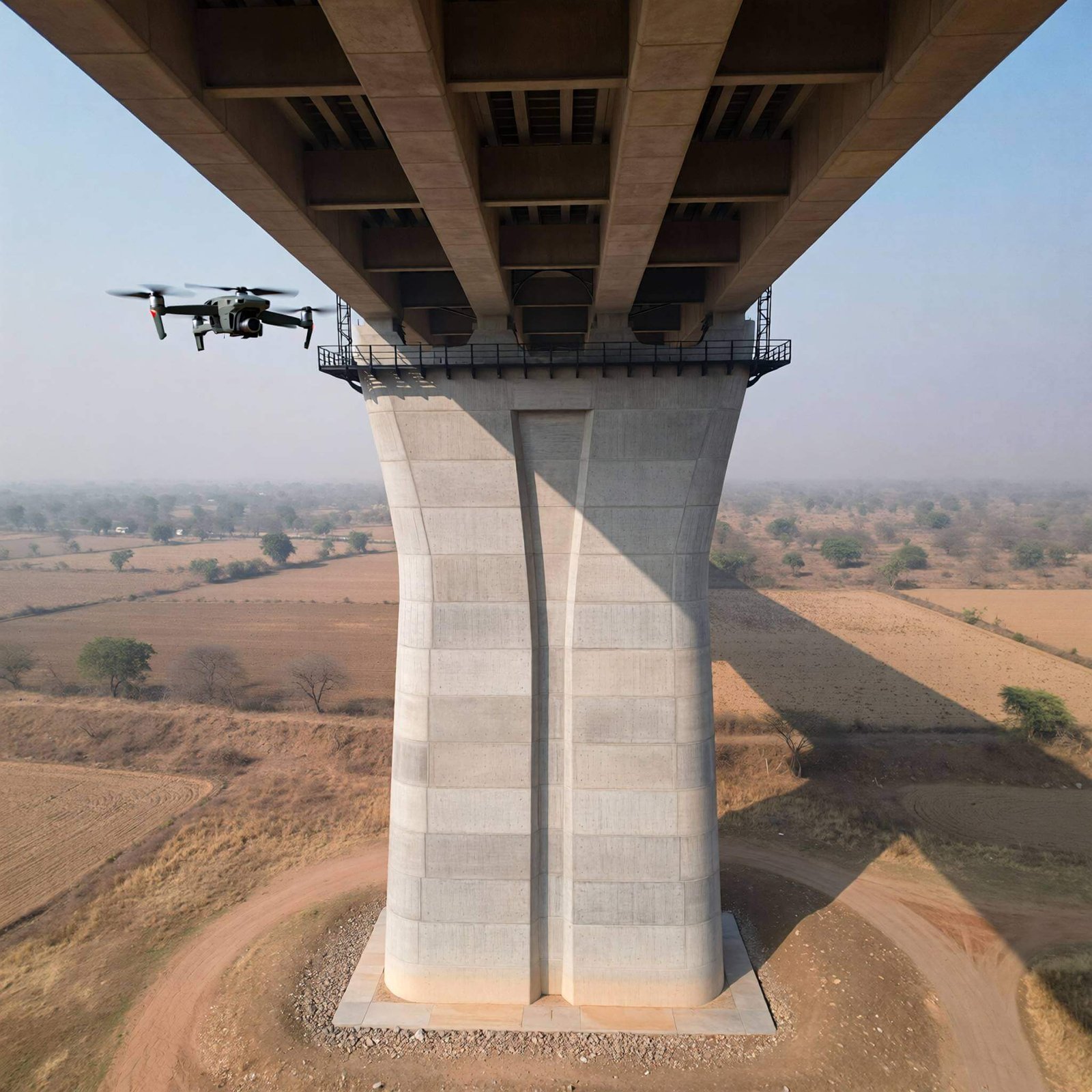
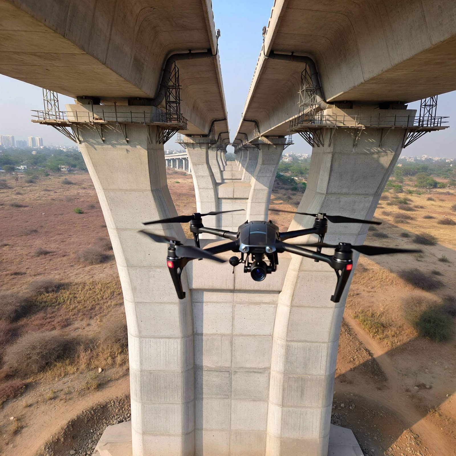
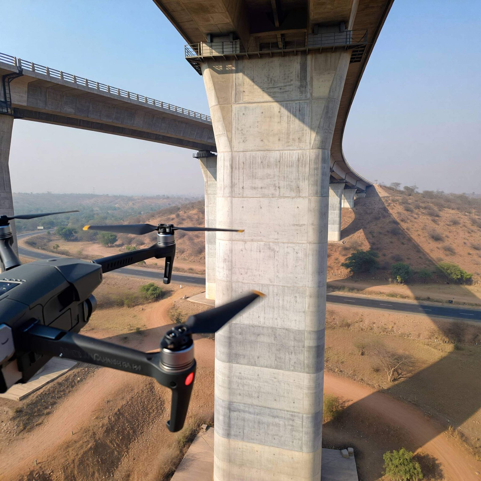
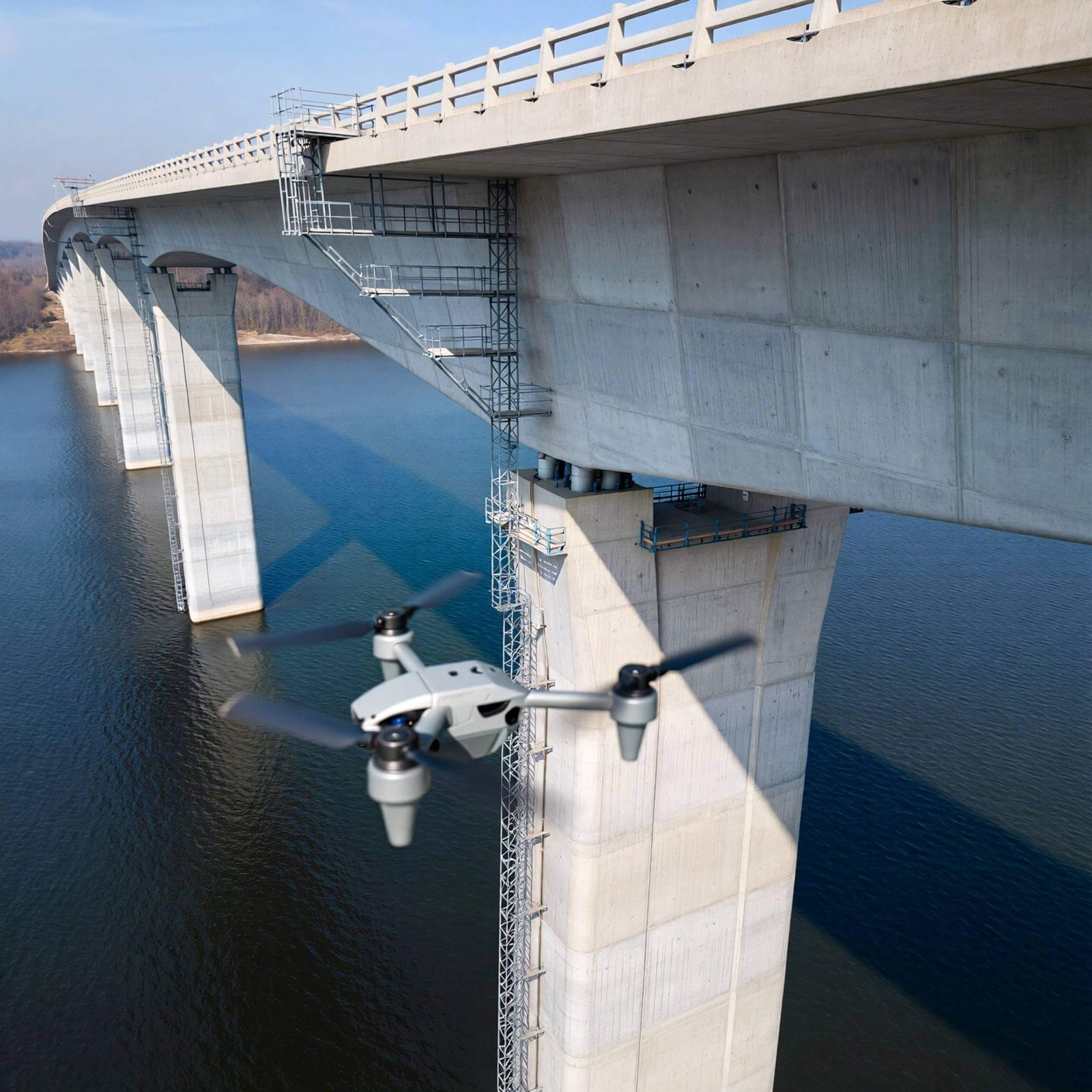
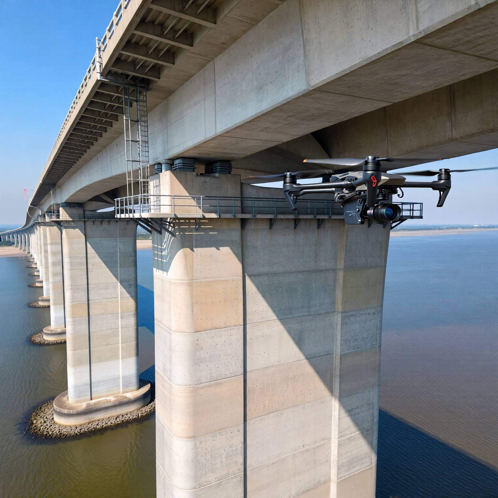
Bridge Inspections
Bridges are subject to constant stress and environmental wear. We inspect bearings, girders, and deck undersides without disrupting traffic flow. Our drones easily navigate over water and difficult terrain to assess corrosion, spalling, and joint integrity.
Jetty and Marine Structure Surveys
Inspecting the underside of a jetty is notoriously difficult and dangerous due to tides and waves. Our drones fly close to the waterline to capture detailed imagery of piles and concrete structures, identifying corrosion and saltwater damage safely.
Chimney and Stack Inspections
Climbing industrial chimneys is slow and perilous. We conduct vertical inspections of industrial stacks to identify cracks, brickwork degradation, and liner issues. Our thermal sensors can also detect heat anomalies that indicate internal insulation failures.
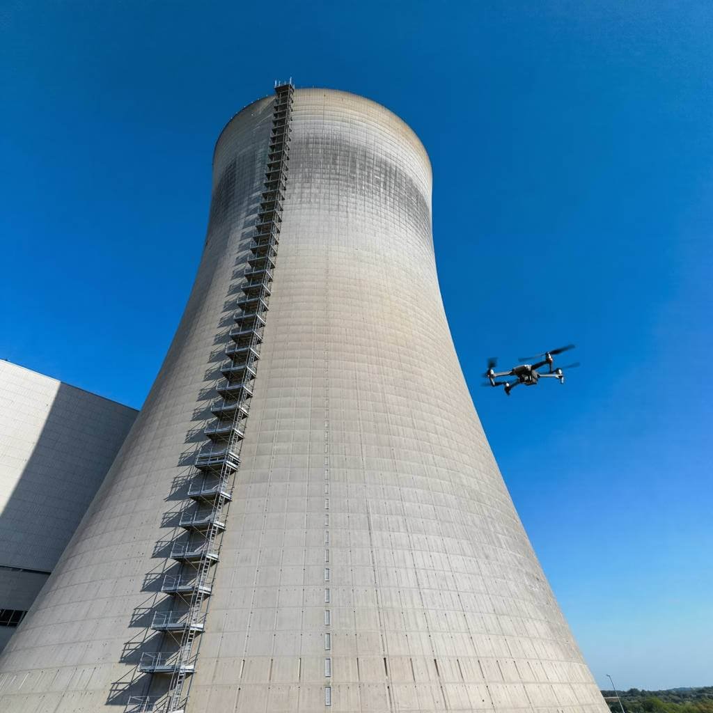
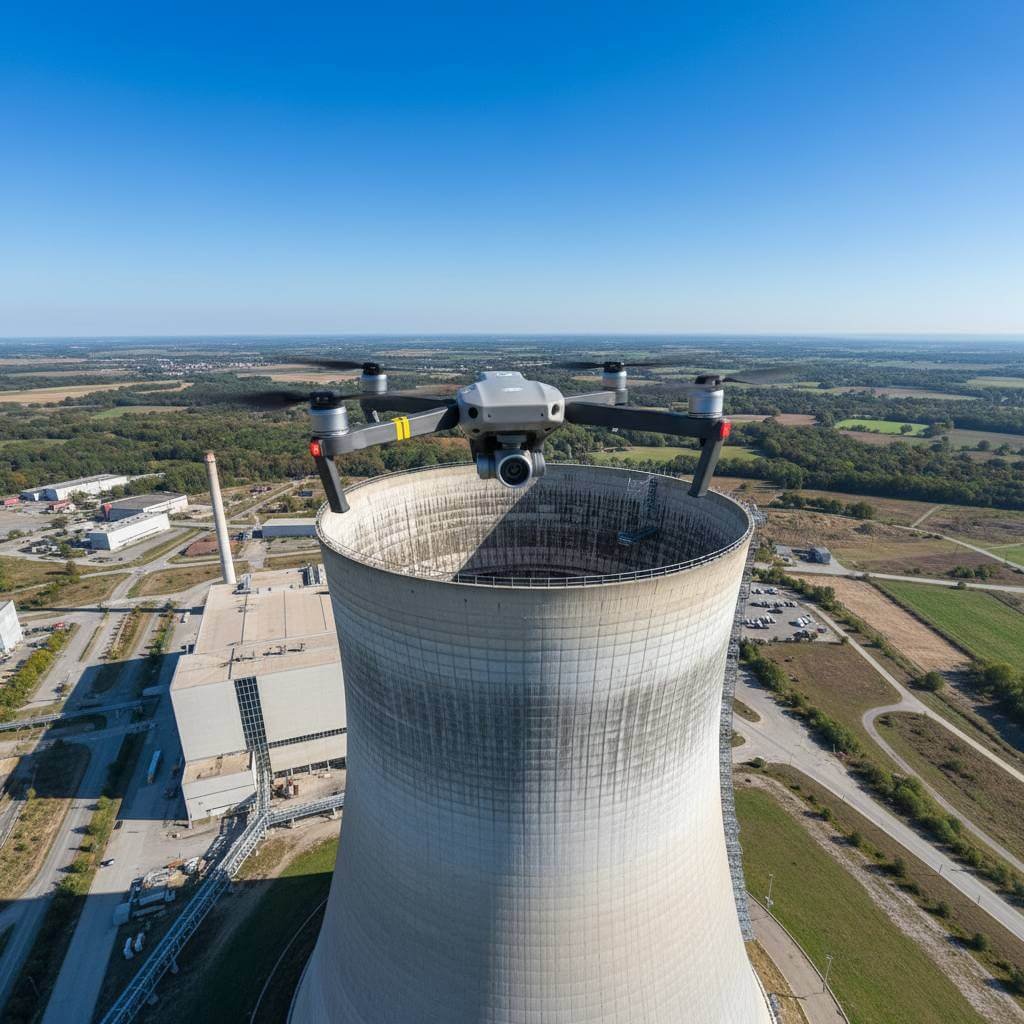
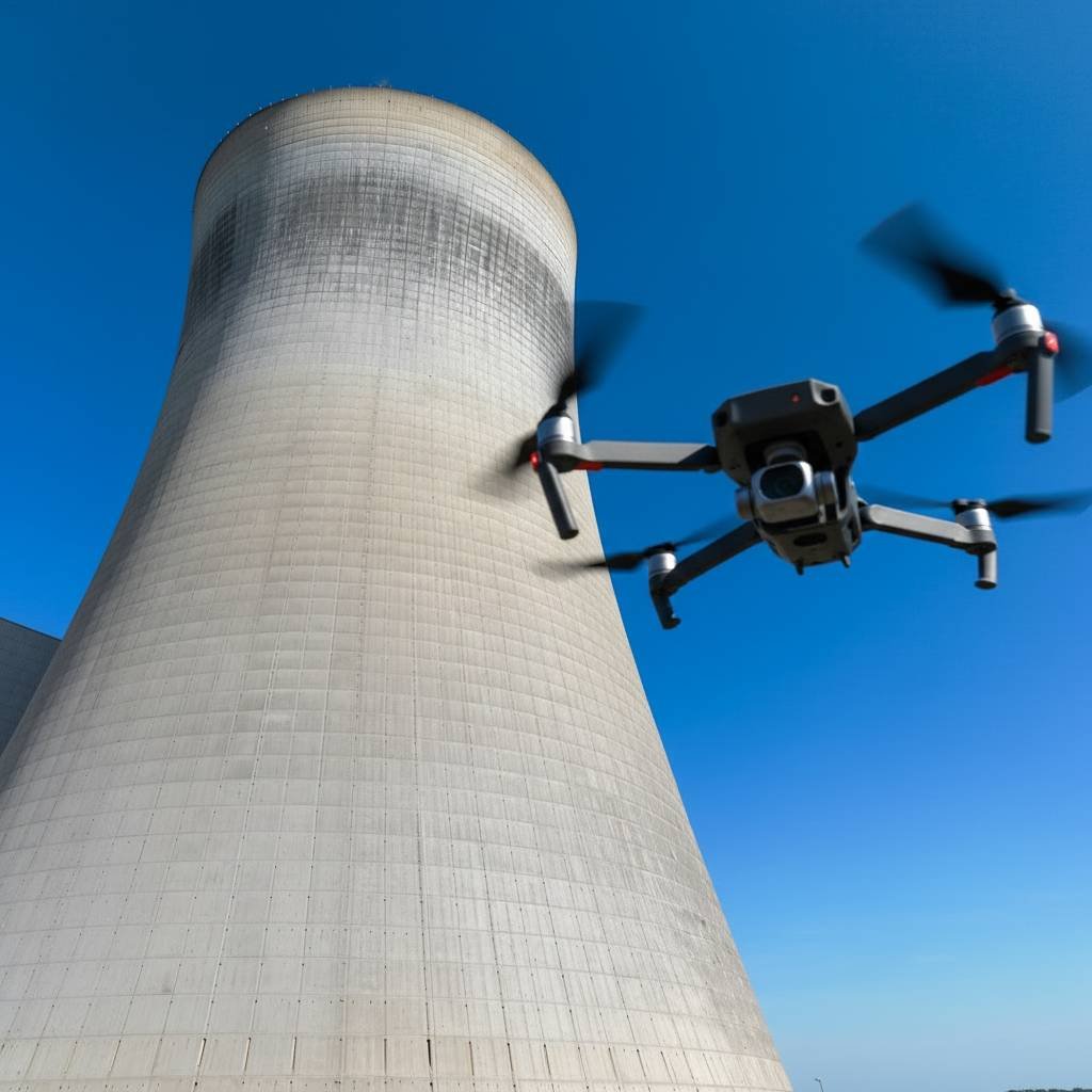
Cooling Tower Assessments
Cooling towers are critical to plant operations but are massive and complex to inspect manually. We fly inside and outside cooling towers to assess fill condition, drift eliminators, and the concrete shell, ensuring your plant operates at peak efficiency.
How It Works: The Inspection Process
- 1. Flight Planning:
We analyze your site and define the flight path to ensure complete coverage of the structure. - 2. Data Capture
Our certified pilots fly the mission, capturing high-resolution visual and thermal data. - 3. Analysis & Reporting:
Our engineering team processes the data to create 3D models and detailed condition reports. - 4. Action Plan:
You receive a comprehensive report highlighting specific defects, allowing you to prioritize repairs effectively.
Frequently Asked Questions (FAQs)
What is a drone survey and how does it work?
A drone survey uses UAVs with high-resolution cameras and sensors to capture aerial data, which is processed into maps, 3D models, and inspection reports for engineering and infrastructure projects.
What are drone survey services used for?
Drone survey services are used for land surveying, topographic mapping, construction progress monitoring, volumetric analysis, and bridge and building inspections.
Why are drone survey services better than traditional surveying?
Drone surveys are faster, safer, and more cost-effective, providing accurate data without manual access to hazardous or hard-to-reach areas.
How do I know whether my cooling tower’s performance is deteriorating?
With RTK/PPK technology and ground control points, drone survey services can achieve centimeter-level accuracy suitable for engineering and design applications.
Are drone surveys safe for bridge and high-rise inspections?
Yes, drone surveys allow detailed inspection of bridges and tall structures without scaffolding or traffic disruption, improving safety and efficiency.
Why choose professional drone survey service providers?
Professional providers ensure regulatory compliance, high accuracy, reliable data processing, and engineering-grade reports for informed decision-making.
Get a Detailed Drone Survey Report
Receive a comprehensive drone survey report that provides high-resolution visual data, thermal analysis, and precise defect identification across your structure.
Our engineering-grade reports include annotated imagery, condition assessments, and actionable insights to support accurate repair, rehabilitation, and maintenance planning helping you make informed decisions with confidence.
Contact us today to get detailed drone survey report.
